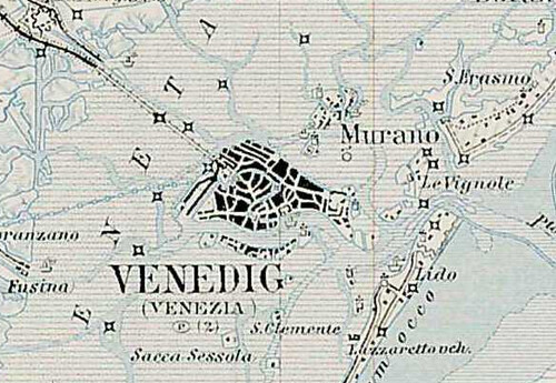
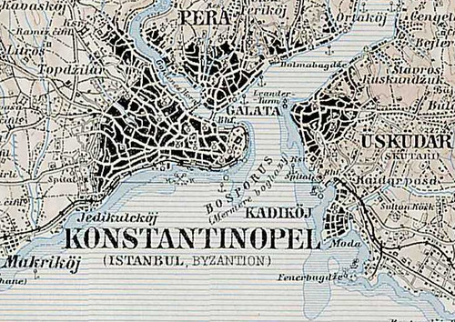
This 1:200,000 topographic map covers all of Central Europe from Cologne to Istanbul, from Nice to Kiev, and from Szczecin to Rome. The scale of Venice and Istanbul below (reduced 50% here) should give you an idea of how detailed this map is. If you are interested in doing detailed historical and/or genealogical research on the Balkans, Central Europe, southern Germany, or northern Italy. It's also useful for planning a revolution, if you can manage to travel back in time first.
A Monarchia III. katonai felmérése: Közép-Európa általános földrajzi térképének (1:200 000) szelvénybeosztása (index map has names of cities in Hungarian, 267 individual maps in German, Polish, Italian, etc.)